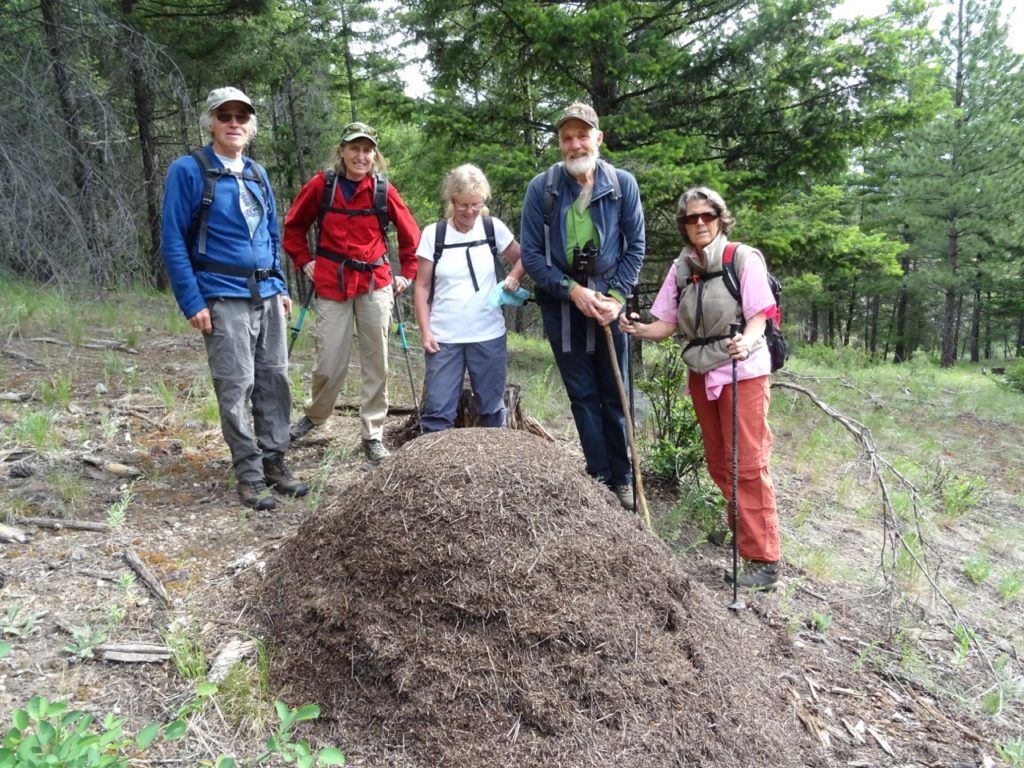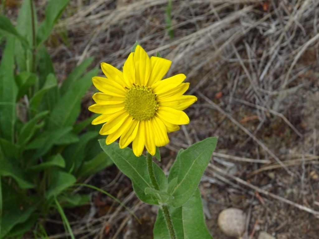
The six of us began a slow ascent of the steep glades above the Coalmont Road gravel pit. As we ambled through the pine grass, we came across the largest anthill we had ever seen! The ant’s equivalent of the Pyramids! Above this, we entered the steepest part of the goat trail through the rocky landscape. Time was spent last year looking for a safe way of negotiating these steep bits. We passed spreading dogbane (Apocyum androsaemifolium), heart leafed arnica (Arnica cordifolia), and thread leafed Phacelia (Phacelia linearis) before emerging onto the flatter summit area overlooking the Coalmont Road toward the West. Far below us, we could see the farm fields and meadows bordering the Trans Canada Trail or the KVR as it’s locally known. In the distance, loomed the Three Brothers in Manning Park.

From this viewpoint, we took old logging roads through the Ponderosa pines. We stopped for a snack overlooking the smallholdings, farmlands, the distant town of Princeton and the Similkameen Valley, laid out before us! After lunch, John and Rod retraced their steps to pick up the cars and to meet us at the end of the road which finished at West China Creek Road. The clouds were threatening rain so the remaining party continued up towards the communication tower and then back down the zig-zag road to the West China Creek Road through beautiful grassy meadows.The rain stayed away and we all made it back alive, another great hike with the Vermilion Forks Field Naturalists.
Although, this hike was advertised as difficult, it can be classified as moderate with two difficult sections. The total time of the hike was four hours.

