Barcelo Falls

Photo: Barchelo Falls
Photo by Sean Walsh

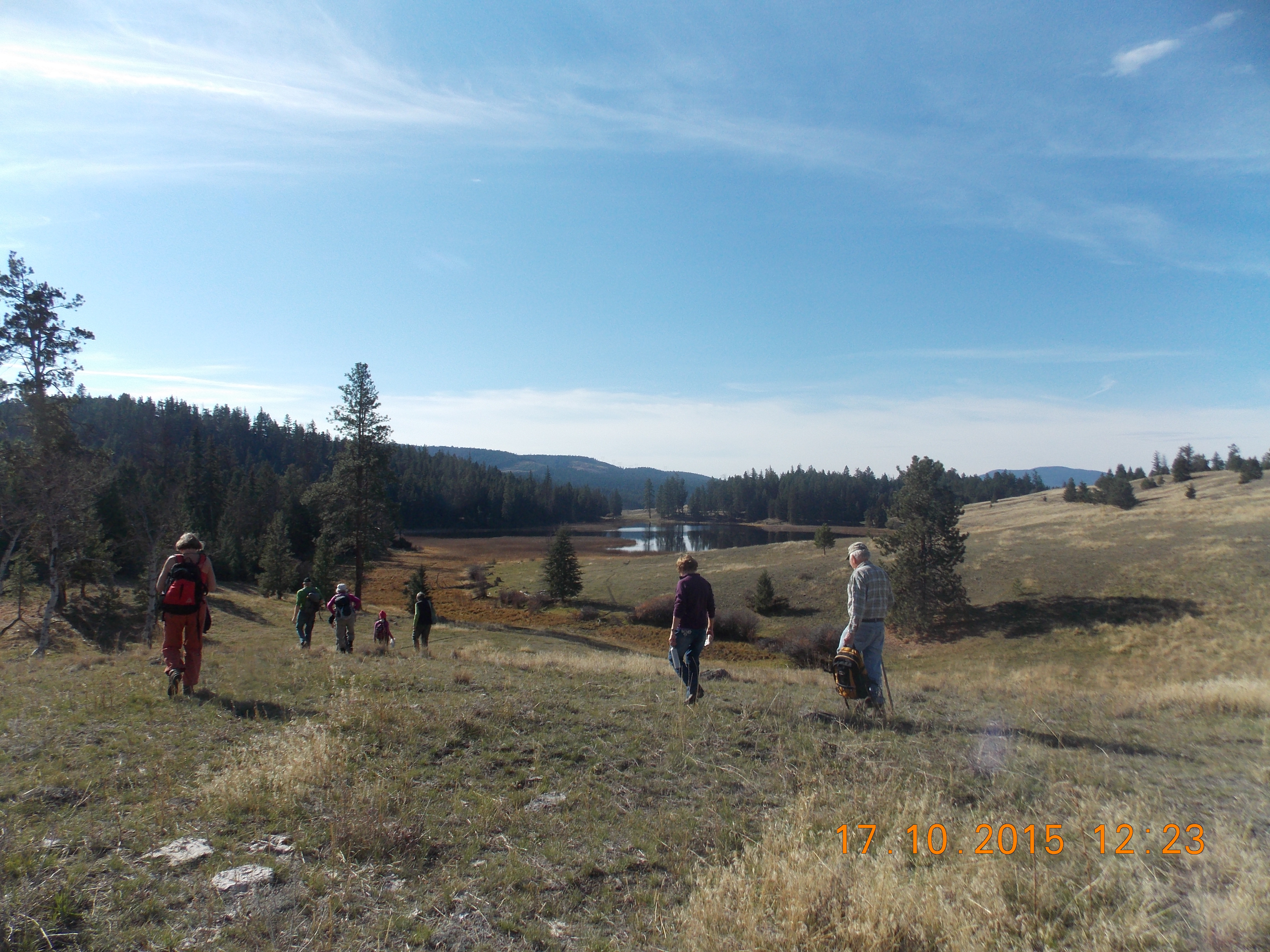
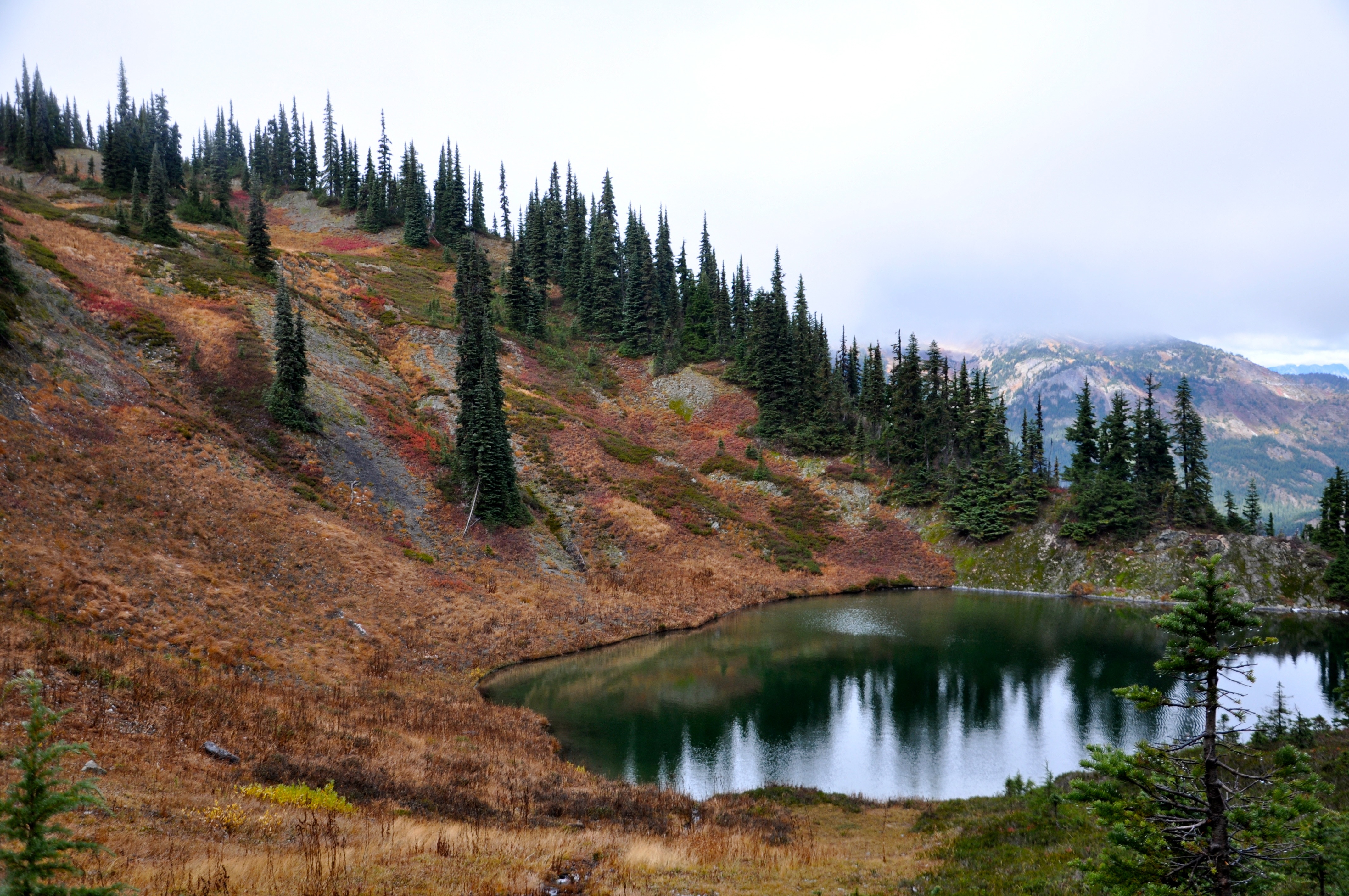
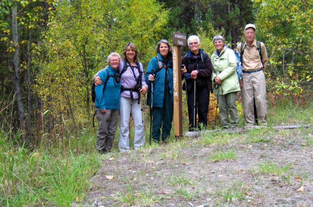
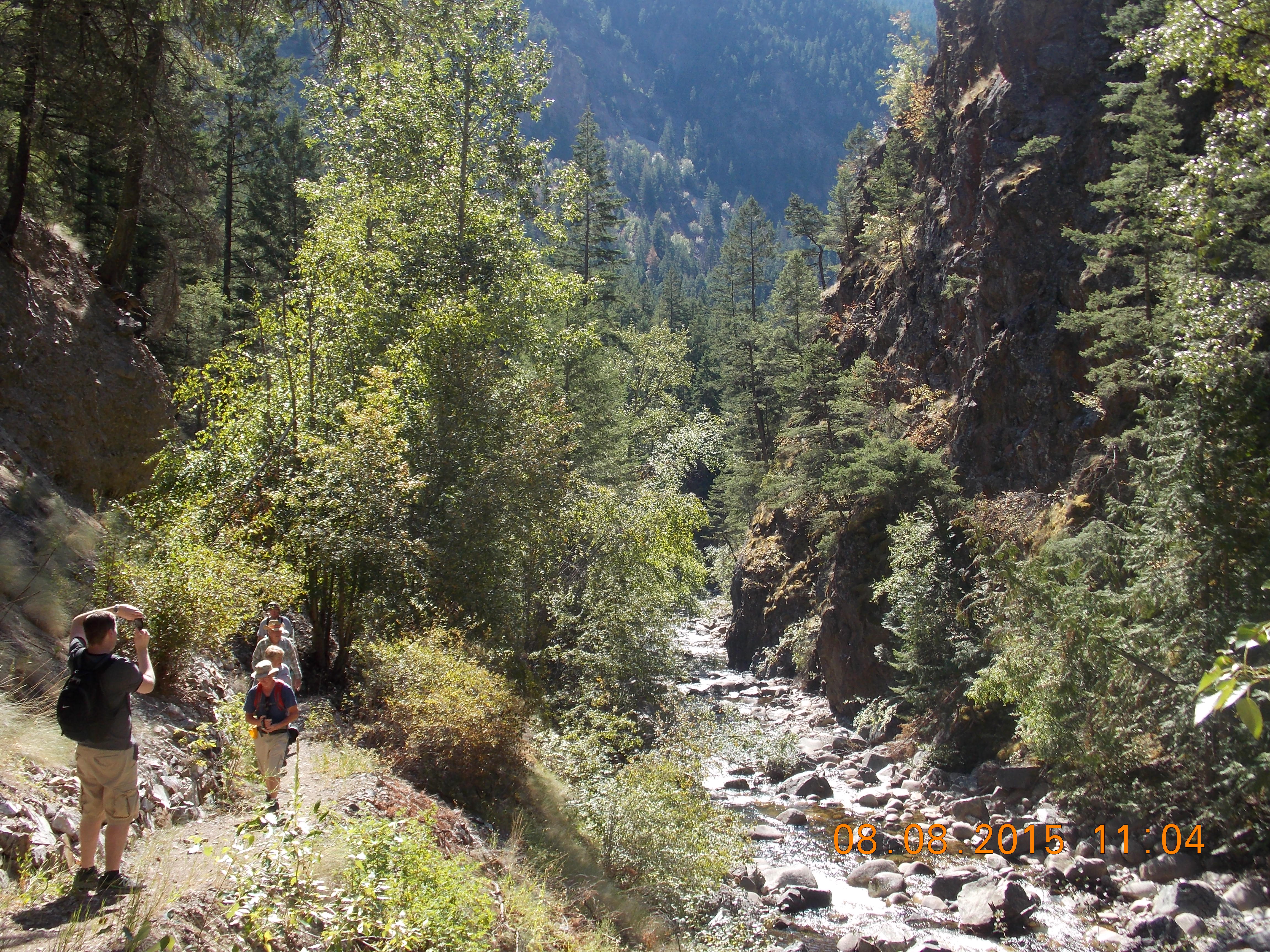
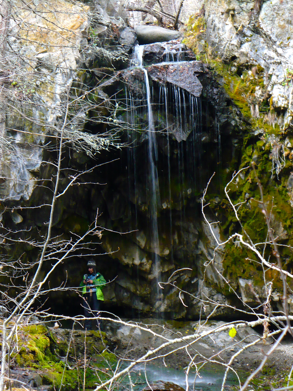
Vermilion Forks Field Naturalists’ Nov. 7th field trip took us to Cawston, where we hiked to Barcelo Falls and beyond. Six of us, led by Rika Ruebsaat, walked through aromatic sagebrush to reach the entry to Barcelo Canyon, a path that was covered with a layer of golden aspen tree leaves as we began our journey, and became rock-strewn as we continued. The trail is a 4 km. gentle incline that runs alongside Barcelo Creek, which is but a trickle at the moment. It took us 1 ½ hours to reach the waterfall, a picturesque setting, despite the minimal water flow. We explored a little behind the falls, then sat and enjoyed our lunch. We needed the extra energy to climb higher, along a steeper trail that leads to grasslands and a viewpoint overlooking the valley floor to the south. On our descent we noticed a small section of volcanically created columns, where basalt has contracted while cooling, after already solidifying – this is identifiable by the characteristic vertically-hexagonal columnar jointing.

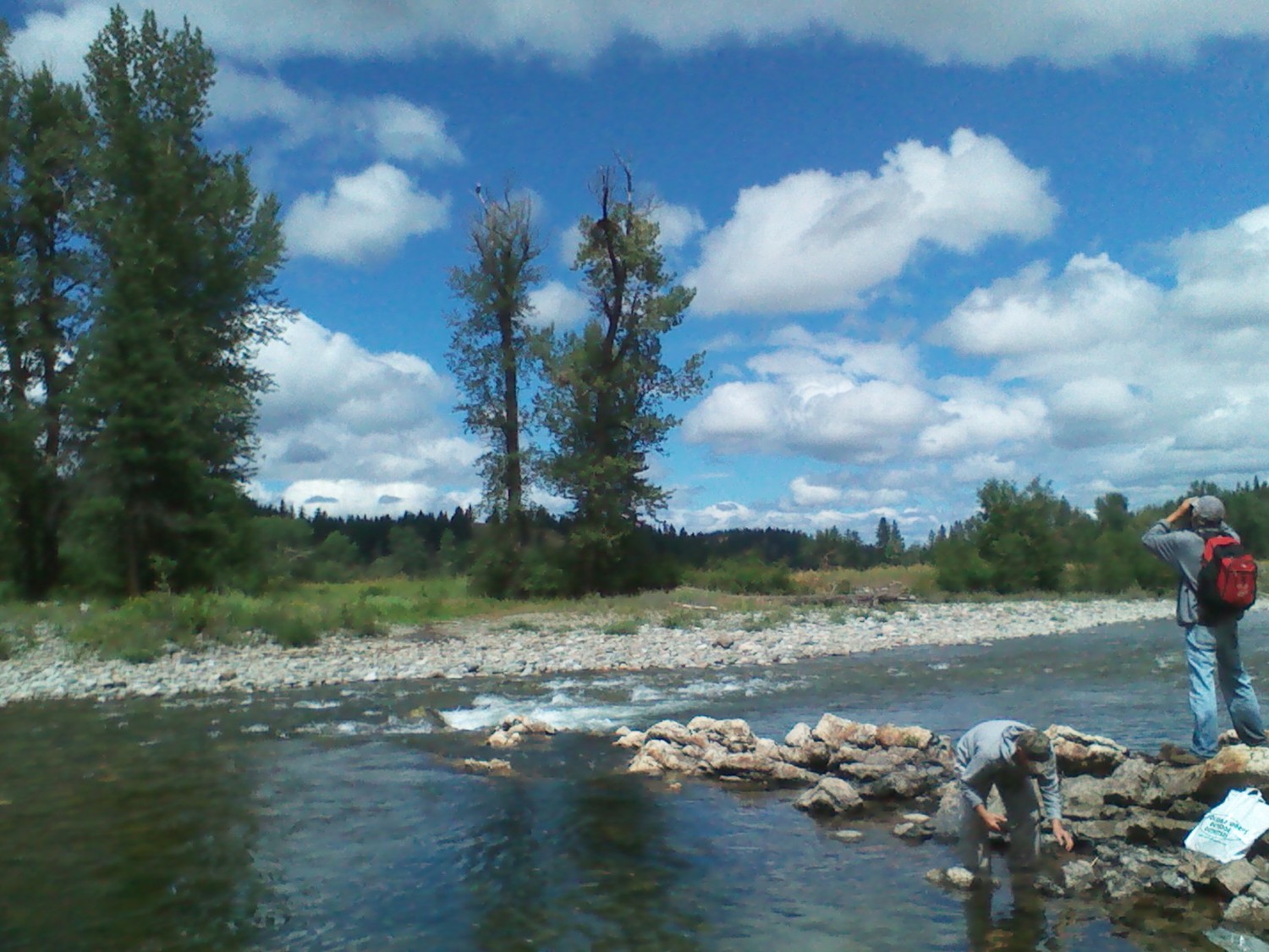
Although we were prepared for rain, we were thankful to have nary a drop. The day was dry, calm and mild, while our 4 hours on the trail were invigorating, interesting and good fun!

Lundbom Common

Photo: Lundbom Commonage
Photo by Janis Wright

Ten Vermilion Forks Field Naturalists enjoyed a joint outing with the Nicola Valley Naturalist Society at Lundbom Common, just east of Merritt, on Saturday, October 17th. Our neighbouring naturalists hosted us, and their president, Alan Burger, was our guide. The area is beautiful, with sheltered gullies of marshlands and a myriad of turquoise coloured ponds and lakes interspersed throughout vast golden rolling grasslands, surrounded by small pockets of forest. We met at the Laurie Guichon Memorial Grasslands Interpretive Site, where Alan gave us a short history of the area. Then we drove 7 km. along a gravel road before we began hiking along a designated trail. The region is a birder’s delight, and even at this time of year we observed 21 different species, including Buffleheads, Green-winged teals, Pileated woodpeckers, a Northern Harrier, and a Rough-legged hawk. After our morning hike, we settled onto a hillside overlooking a pond, to eat our lunch and revel in the warmth of the sun, as the temperature was 24 degrees! After lunch we visited a nearby forested area where a dead but standing ancient tree bears the mark that once signified a First Nation’s trading site.

A few of our members had time for an additional one-hour hike, a steep climb to the top of Sugar Loaf Mountain, which provides a powerful view of the Nicola Valley and mountains beyond. A granite glacial erratic that perches on top of the volcanic peak was of particular interest to our group. This field trip not only introduced us to a unique, protected and diverse ecosystem, but also to fellow naturalists. We look forward to another joint outing with this group, closer to home, in the spring!

Palmer’s Pond

Photo: Palmer's Pond
Photo by ?

The clouds lifted for us, as if by request, when eight Vermilion Forks Field Naturalist members hiked up to Palmer’s Pond on Saturday, October 3rd. The ceiling was low when we set out on the trail near Jacobsen Lake and made our way up the well-marked route used by Hudson’s Bay Brigades over 150 years ago. Led by Ed Staples and Nienke Klaver, we ascended through the thick forest of healthy conifers, splashed with colour by the golden leaves of aspens. Once we reached sub-alpine terrain the white pines were sprinkled with snow and the ground cover was vivid with red-hued huckleberry bushes amongst the ubiquitous mountain-heather. The path was muddy in places and the temperature chilly when the wind blew, but we gloried in the views, particularly as the skies cleared when we reached our destination. Palmer’s Pond is situated near the Cascade Divide, and sits at the edge of a sheer drop, with magnificent mountains across the valley and beyond.

Although we were on the trail for a total of six hours, much of that time was spent searching for fossils, enjoying a leisurely lunch and identifying mushrooms, which are plentiful at this time of year. Peter was elated to find a King Bolete, an especially flavoursome fungi. We spotted bear and coyote scat, as well as the fresh moose tracks of a cow and calf. Our descent was marked by spontaneous song and laughter, while the sun shone upon us fully when we finally returned to our vehicles.

Bonnevier Trail

Photo: Bonnevier Trail - Tom Moore Trail
Photo by Johanna Nott

Vermilion Forks Field Naturalists hosted yet another successful hike on Saturday, September 19th, when Charlotte Sellers led a group of six along a portion of the Bonnevier trail in Manning Park. After an hour’s drive from Princeton, the group arrived at the Tom Moore trail, a path which intersects with the Bonnevier trail, halfway up to a ridge. Bonnevier trail is predominantly uphill through forest, with grasslands and fallen trees, but well maintained as it is part of the Fat Dog race every year. Two hours of hiking took the group to the ridge – time for lunch and a rest. Although there were squalls throughout the valley, there was no rain, and there were glimpses of the mountains through breaks in the clouds on the return journey, not to mention the brilliantly hued fall colours being exhibited in the park right now! A special guest on this trek was former Princeton resident, Lynn Smith, visiting from Australia.

Jim Kelly Hike

Photo: Jim Kelly Hike
Photo by ?

On Saturday 5 September dawned clear and bright as six hardy Vermilion Forks Field Naturalists headed out on what is becoming an annual trek up to Jim Kelly Mountain. We always plan this trip for the first week in September because the huckleberries and blueberries are at their peak. Last year, for example, we picked enough for several pies. Our early summer, however, confused the berries so that this year, not only were the berries absent but some bushes were trying for a second crop. No matter, the weather was fine and the views were spectacular.

On the way up we saw a big black bear on the blueberry bush-infested ridge opposite us. We hoped there were berries there so he could fatten up for the winter. As we climbed out of the forest and into the alpine we saw fresh snow covering Jim Kelly peak and nestling in shady spots along the trail. We had lunch on a warm heather meadow in the sun, but as soon as we began climbing onto the ridge a cold wind sucked the warmth out of us. We climbed to a sheltered bowl just below Kelly Peak in which nested the first of several lakes in the area. After some photo ops we headed up along the ridge with spectacular views to the southwest of Cascade peaks with Coast Mountain peaks shimmering in the distance. The views were stunning, the sun was bright but the wind was cold. We met a group of rock climbers who had been scaling one of the faces of Jim Kelly. How they managed to hold onto the rocks in that biting wind is a mystery.

We hiked to the farthest and biggest of the lakes that shimmered turquoise in the sun and stopped for a snack. Unlike previous years, no one went in for a dip. Rather than retracing our footsteps we decided to loop back over the meadows, scree and among the lakes to the downward trail. This proved more difficult than in previous years because the snow patches that usually cover the steepest scree slopes had melted. Instead of having fun slipping and sliding downhill we were obliged to pick our way carefully over steep slopes and loose rocks.

Lost Cow Trail

Photo: Lost Cow Trail
Photo by Janis Wright

The air was fresh and cool when VFFN members set off on our Aug. 22nd “Lost Cow Trail” trek, as the wildfires’ smoke was barely discernible on the horizon. Joan Kelly led ten of us through the woods on a trail just off China Creek Road – a path that led to a great viewpoint looking across the valley to the south. We stopped at this spot and found a log on which to perch and relax. We spent some time exploring the area and admiring the vista, while spotting turkey vultures soaring overhead. A lone merlin also flew above us, harassed by a flock of ravens. As we made our return journey, shedding jackets when the sun began to warm us, we heard the flat, drawn-out caws of Clark’s nutcrackers, as well as the high, piping peeps of pygmy nuthatches. It was another companionable outing filled with laughter, exercise, and the tantalizing fragrance of pine. Our field trips are perfect opportunities to meet new people – two of our ten were out of town visitors: a young woman from Arizona and a 92-year-old from Metro Vancouver!

Hedley Creek

Photo: Hedley Creek
Photo by Janis Wright

Vermilion Forks Field Naturalists enjoyed an easy hike along the Hedley Creek trail on Saturday morning, August 8th – a perfect outing for a hot summer day, as the trail is shaded and cool. Hedley Creek, aka Twenty Mile Creek, runs between rock walls of a box canyon, and flows south into the Similkameen. Years ago the creek was dammed by mining companies to provide water for a reduction mill, and subsequently domestic water was supplied through wood stave pipes, remnants of which are still evident below the trail. Four wooden plank bridges existed at one time, as well, to allow access further up the creek, but all crossings and the dam have since been destroyed by spring floods. Fifteen of us, led by Margaret Hale, walked along a footpath paralleling the creek until we reached the first bridge washout area. The bridge still lies relatively intact, but positioned on the opposite bank. This turnaround spot makes a great place to sit and rest, enjoy a snack and the spectacular scenery before heading back. The rock formations of the canyon and lush foliage along the water make for a unique and lovely landscape – cedars, willows, ferns and Oregon grape are abundant. Our 2 ½ hour hike ended with lunch at Hedley’s Hitching Post, a treat any day of the week!

Gold Panning on the Similkameen

Photo: Gold Panning on the Similkameen
Photo by Sean Walsh

Hiking and gold panning replaced Vermilion Forks Field Naturalists’ customary fishing trip on a recent field trip along the banks of the Similkameen River in the Allenby area. Six of us, led by Peter Antonick, slogged through rain, forest and wet grasses as we climbed to a craggy ridge high on the cliffs, overlooking the river and offering spectacular views. As we traversed the ridge, heading north and then east, our outlook changed from steep canyons and the Copper Mtn. Mine site, to an isolated resort, extensive green meadows, and intriguing formations along the river bank itself. We hiked 2 ½ hours before gradually descending to a secluded spot along the shore, where we enjoyed intermittent sunshine as we ate our lunches and panned for gold. Although flecks of gold and platinum were discovered, we left these treasures behind!

The riches that we did enjoy that day included a Bald Eagle standing sentry over us while Canada Geese swam nearby, two coyote pups romping through the woods, a Cooper’s Hawk, a Raven family vociferously protecting their young, and several Blue Grouse lurking in the grasses. We sampled sweet salmon berries, wild raspberries and the less palatable Oregon-grape berries. The fitting finish, however, was sipping Peter’s cherry wine at his home after our 5-hour field trip had ended!

Tanglewood Hollow

Photo: Tanglewood Hollow
Photo by Janis Wright

Vermilion Forks Field Naturalists experienced a change of pace from our recent hikes in the heat, as we embarked on a leisurely stroll in the cool morning air of Saturday, July 11th. Even more refreshing was the sprinkle of raindrops enjoyed by nine of us as we ambled in search of wildflowers and grasses on the property of Tim and Del Hall. Several of us carried our plant identification books with us, but we benefited greatly from the expertise of Maggie Trehearne, local and venerable naturalist. She recognized a couple of dozen native plants, including Alfalfa, Prickly Lettuce, Eriogonum, a type of buckwheat plant, Narrow-leaved Collomia, from the phlox family, and Lamb’s-quarters, one of the goosefoot species. Grasses identified included Crested Wheatgrass, Fringed Brome, and Pinegrass, just to mention a few. We spent more than 2 hours roaming and reveling in the views, and were rewarded with glasses of lemonade halfway through our ramble. Thanks to Tim & Del, with sincere appreciation to Maggie Trehearne for helping to educate us!