Bonnevier Trail

Photo: Bonnevier Trail - Tom Moore Trail
Photo by Johanna Nott

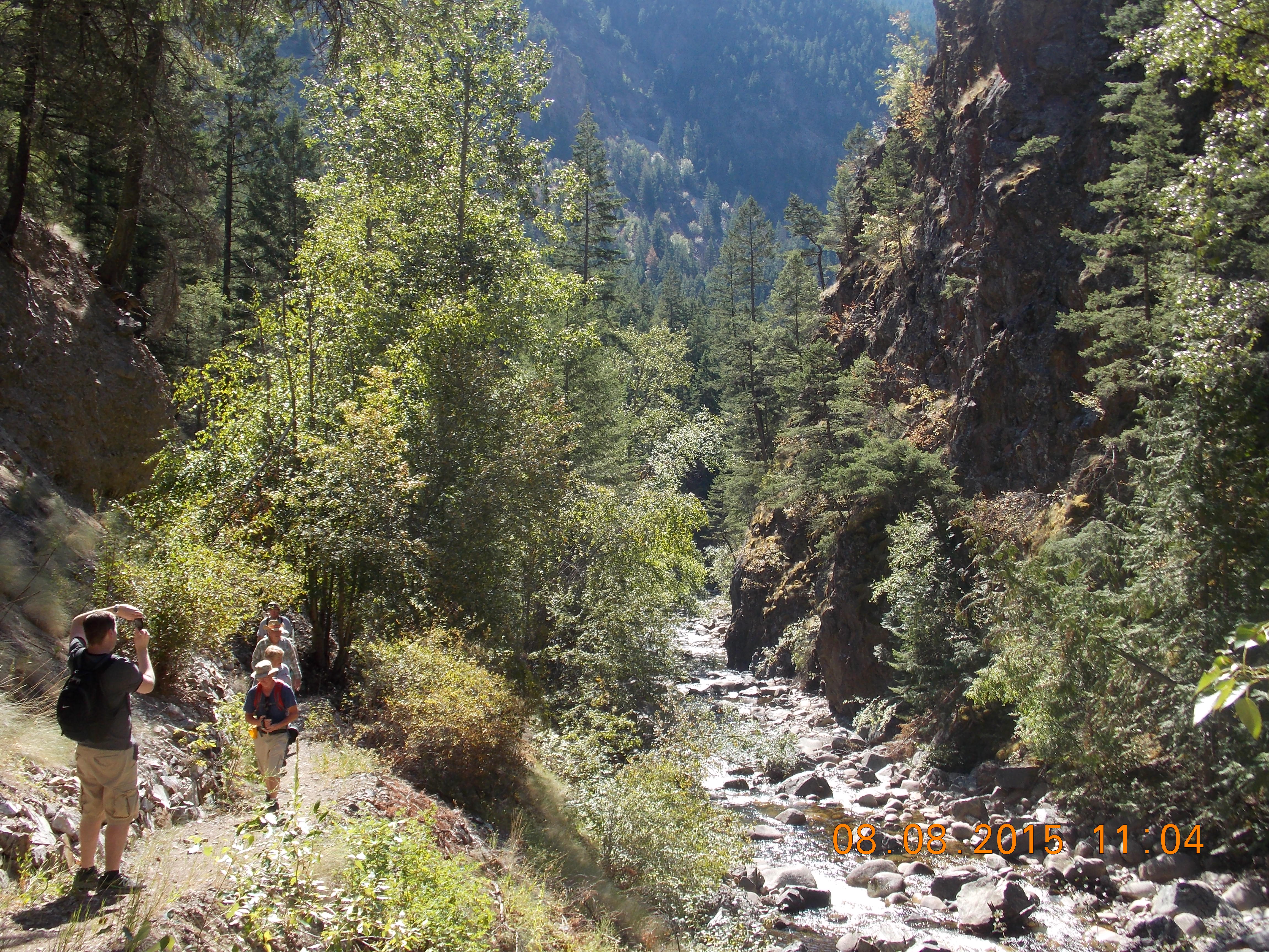
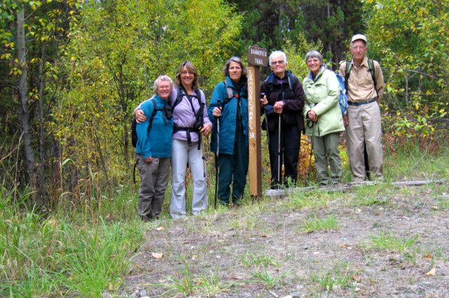
Vermilion Forks Field Naturalists hosted yet another successful hike on Saturday, September 19th, when Charlotte Sellers led a group of six along a portion of the Bonnevier trail in Manning Park. After an hour’s drive from Princeton, the group arrived at the Tom Moore trail, a path which intersects with the Bonnevier trail, halfway up to a ridge. Bonnevier trail is predominantly uphill through forest, with grasslands and fallen trees, but well maintained as it is part of the Fat Dog race every year. Two hours of hiking took the group to the ridge – time for lunch and a rest. Although there were squalls throughout the valley, there was no rain, and there were glimpses of the mountains through breaks in the clouds on the return journey, not to mention the brilliantly hued fall colours being exhibited in the park right now! A special guest on this trek was former Princeton resident, Lynn Smith, visiting from Australia.

Jim Kelly Hike

Photo: Jim Kelly Hike
Photo by ?

On Saturday 5 September dawned clear and bright as six hardy Vermilion Forks Field Naturalists headed out on what is becoming an annual trek up to Jim Kelly Mountain. We always plan this trip for the first week in September because the huckleberries and blueberries are at their peak. Last year, for example, we picked enough for several pies. Our early summer, however, confused the berries so that this year, not only were the berries absent but some bushes were trying for a second crop. No matter, the weather was fine and the views were spectacular.

On the way up we saw a big black bear on the blueberry bush-infested ridge opposite us. We hoped there were berries there so he could fatten up for the winter. As we climbed out of the forest and into the alpine we saw fresh snow covering Jim Kelly peak and nestling in shady spots along the trail. We had lunch on a warm heather meadow in the sun, but as soon as we began climbing onto the ridge a cold wind sucked the warmth out of us. We climbed to a sheltered bowl just below Kelly Peak in which nested the first of several lakes in the area. After some photo ops we headed up along the ridge with spectacular views to the southwest of Cascade peaks with Coast Mountain peaks shimmering in the distance. The views were stunning, the sun was bright but the wind was cold. We met a group of rock climbers who had been scaling one of the faces of Jim Kelly. How they managed to hold onto the rocks in that biting wind is a mystery.

We hiked to the farthest and biggest of the lakes that shimmered turquoise in the sun and stopped for a snack. Unlike previous years, no one went in for a dip. Rather than retracing our footsteps we decided to loop back over the meadows, scree and among the lakes to the downward trail. This proved more difficult than in previous years because the snow patches that usually cover the steepest scree slopes had melted. Instead of having fun slipping and sliding downhill we were obliged to pick our way carefully over steep slopes and loose rocks.

Lost Cow Trail

Photo: Lost Cow Trail
Photo by Janis Wright

The air was fresh and cool when VFFN members set off on our Aug. 22nd “Lost Cow Trail” trek, as the wildfires’ smoke was barely discernible on the horizon. Joan Kelly led ten of us through the woods on a trail just off China Creek Road – a path that led to a great viewpoint looking across the valley to the south. We stopped at this spot and found a log on which to perch and relax. We spent some time exploring the area and admiring the vista, while spotting turkey vultures soaring overhead. A lone merlin also flew above us, harassed by a flock of ravens. As we made our return journey, shedding jackets when the sun began to warm us, we heard the flat, drawn-out caws of Clark’s nutcrackers, as well as the high, piping peeps of pygmy nuthatches. It was another companionable outing filled with laughter, exercise, and the tantalizing fragrance of pine. Our field trips are perfect opportunities to meet new people – two of our ten were out of town visitors: a young woman from Arizona and a 92-year-old from Metro Vancouver!

Hedley Creek

Photo: Hedley Creek
Photo by Janis Wright

Vermilion Forks Field Naturalists enjoyed an easy hike along the Hedley Creek trail on Saturday morning, August 8th – a perfect outing for a hot summer day, as the trail is shaded and cool. Hedley Creek, aka Twenty Mile Creek, runs between rock walls of a box canyon, and flows south into the Similkameen. Years ago the creek was dammed by mining companies to provide water for a reduction mill, and subsequently domestic water was supplied through wood stave pipes, remnants of which are still evident below the trail. Four wooden plank bridges existed at one time, as well, to allow access further up the creek, but all crossings and the dam have since been destroyed by spring floods. Fifteen of us, led by Margaret Hale, walked along a footpath paralleling the creek until we reached the first bridge washout area. The bridge still lies relatively intact, but positioned on the opposite bank. This turnaround spot makes a great place to sit and rest, enjoy a snack and the spectacular scenery before heading back. The rock formations of the canyon and lush foliage along the water make for a unique and lovely landscape – cedars, willows, ferns and Oregon grape are abundant. Our 2 ½ hour hike ended with lunch at Hedley’s Hitching Post, a treat any day of the week!

Gold Panning on the Similkameen

Photo: Gold Panning on the Similkameen
Photo by Sean Walsh

Hiking and gold panning replaced Vermilion Forks Field Naturalists’ customary fishing trip on a recent field trip along the banks of the Similkameen River in the Allenby area. Six of us, led by Peter Antonick, slogged through rain, forest and wet grasses as we climbed to a craggy ridge high on the cliffs, overlooking the river and offering spectacular views. As we traversed the ridge, heading north and then east, our outlook changed from steep canyons and the Copper Mtn. Mine site, to an isolated resort, extensive green meadows, and intriguing formations along the river bank itself. We hiked 2 ½ hours before gradually descending to a secluded spot along the shore, where we enjoyed intermittent sunshine as we ate our lunches and panned for gold. Although flecks of gold and platinum were discovered, we left these treasures behind!

The riches that we did enjoy that day included a Bald Eagle standing sentry over us while Canada Geese swam nearby, two coyote pups romping through the woods, a Cooper’s Hawk, a Raven family vociferously protecting their young, and several Blue Grouse lurking in the grasses. We sampled sweet salmon berries, wild raspberries and the less palatable Oregon-grape berries. The fitting finish, however, was sipping Peter’s cherry wine at his home after our 5-hour field trip had ended!

Tanglewood Hollow

Photo: Tanglewood Hollow
Photo by Janis Wright

Vermilion Forks Field Naturalists experienced a change of pace from our recent hikes in the heat, as we embarked on a leisurely stroll in the cool morning air of Saturday, July 11th. Even more refreshing was the sprinkle of raindrops enjoyed by nine of us as we ambled in search of wildflowers and grasses on the property of Tim and Del Hall. Several of us carried our plant identification books with us, but we benefited greatly from the expertise of Maggie Trehearne, local and venerable naturalist. She recognized a couple of dozen native plants, including Alfalfa, Prickly Lettuce, Eriogonum, a type of buckwheat plant, Narrow-leaved Collomia, from the phlox family, and Lamb’s-quarters, one of the goosefoot species. Grasses identified included Crested Wheatgrass, Fringed Brome, and Pinegrass, just to mention a few. We spent more than 2 hours roaming and reveling in the views, and were rewarded with glasses of lemonade halfway through our ramble. Thanks to Tim & Del, with sincere appreciation to Maggie Trehearne for helping to educate us!

Osprey Lake to Eastmere & Westmere Lakes

Photo: Osprey Lake to Eastmere and Westmere
Photo by ?

The hike from Tellier’s Fisherman’s Cove at Osprey Lake to the lakes of Eastmere and Westmere started under bright blue skies with gentle, refreshing breezes, a round trip of 9 km. Twenty-four nature enthusiasts, amongst them a young hiker, 8 year old Mathias, and a special guest from Russia tromped off with unbridled energy. Following the Tellier’s foot trails, the viewpoints to “Top of the World” and “360” were reached. From “Top of the World” the peaks of the Three Brothers, Snass and Outram stuck out proudly in the mid-morning sun.  At “360” the view was somewhat obscured due to new growth, showing a good forest recovery. Thinking of lunch we renewed our efforts and continued our trip to Eastmere & Westmere, two lovely lakes in the midst of trees. Common loons swam gracefully around the lily-pad lakes while someone reported Spotted Sandpipers along the shore.   Other birds seen or heard on the hike were Spruce Grouse, Red-breasted Nuthatch, Swainson Thrush, Black-capped Chickadee, and Townsend Solitaire. We stopped and had lunch at Westmere. Two adventurous ladies swam in the warm lake, one individual tried his hand at fishing, and others sat and enjoyed the view. The Westmere outhouse was voted the best ever. We returned to Osprey Lake following the “Brunner Trail” which was established over 60 years ago as a foot trail. Also on view along the trails were wild flowers which unfortunately were starting to dry up from the early summer’s heat; however, in damp areas numerous species abounded, amongst these were Columbian Monkshood, Pink Wintergreen, Bunchberry, and Queen’s Cup. Two special treats at the end of the hike were a Townsend Solitaire’s nest built from a projecting sand bank, and a tree which had been marked by bears many times. The woods are full of wonderful surprises!

Vortex Station and Agate Mountain Lookout

Photo: Vortex Station Lookout
Photo by ?

Seventeen naturalists showed up to join Tip Anderson on a drive to Vortex Station and then a hike to Agate Mountain Lookout. Vortex Station is a bearing point for airplanes. From there they can veer off in the direction they wish to follow. Ascending steep steps, we came to a flat area that gave a spectacular view to the west of many visible mountain peaks. There were speculations as to the names of these peaks, but it was difficult to know because of the different angle they were being seen. After a few minutes of admiring the view, we started our hike to Agate Mountain Lookout. The road we followed led us through areas of plentiful flowers which included Tiger Lily, Trapper Tea, Diverse-leaved Cinquefoil, Wild Rose bushes, Bunchberry, and the incredible White Bog-Orchid. “These species occur at low high elevations, in wetlands, seepage areas, subalpine meadows, wet coniferous forests and clearings.” (Plants of Southern Interior BC, Parish et al) A perfect description of the ecology on either side of the road that we hiked. Meanwhile, our lepidopterist, Sue Elwell, saw 12 categories of butterflies. To list just a few, they were Chryxus Arctic, Mariposa Copper, Anise Swallowtails, and Checkerspots. For most of us, the butterflies moved too quickly to truly appreciate what we were seeing. Reaching Agate Mountain Lookout, the group was able to enjoy yet another incredible view of Princeton and surrounding area. The drive down also provided some wonderful vistas, among them a glimpse of Wolf Lake.

Hike to Secret Lake

Photo: Secret Lake (2015)
Photo by ?

Thirteen Vermilion Fork Field Naturalists met thirteen like-minded people from the Osprey Lake area and together they had a good time doing the 2 km hike to Secret Lake, using the Blue Flag Trail that Mark Wong and the Telliers flagged out. The hike began with an explanation from Mark on what had occurred in this area.  A private group logged the vicinity leaving it in a sad state.  A group of people then bought the land with the intention of bringing it back to its natural state.  Their first job was to clear the mess that was left behind and then plant trees.  In this endeavour Weyerheuser proved to be very helpful by donating thousands of tree seedlings.  This new tree growth is every evident at the site.  Leaving the newly planted zone, we walked through a wooded area, stopped, admired, and identified wildflowers, amongst them the beautiful Tiger Lily.  A hawk circled high in the sky on a day that was just perfect for walking. Secret Lake proved to be a special spot.  At one end was a beaver lodge and the surface of the water glistened with lily pads, much appreciated by Barrow’s Golden-eyed Ducks, a turtle that came into view, and a small frog capture by our young naturalist, Karlie Sellmer, for us to admire, then released into the water. We also found a sandpiper’s nest with 4 beautiful eggs.

White Lake to Mahoney Lake

Photo: White Lake to Mahoney Lake
Photo by ?

A field trip to the White Lake Grasslands Protected Area rewarded us with great views, plenty of birds, familiar flowers and plants, and two adult black bears! The area was teeming with interest. The moderate 7 km hike from White Lake to Mahoney Lake passed quickly as we stopped to admire the wildflowers; the Mock Orange bushes, in particular, were blooming gloriously. Here and there were clumps of Giant Wildrye Grass, the ubiquitous Big Sagebrush, and tall Ponderosa Pines that provided wonderful shade. Numerous butterflies and dragonflies flickered around us. Cathy and Jason Lahaie helped us identified 34 species of birds. Stopping at one small lake someone spotted 2 adult black bears on the other side. Being a sufficient distance from them, we admired them without feeling that we were encroaching on their territory. After a quick lunch at a man made dam in the shade of trees, we continued to Mahoney Lake. Mahoney Lake is an Ecological Reserve. “An ecological reserve provides the highest protection for the maintenance of physical and biodiversity while allowing for research and educational activities.” Mahoney Lake is one of few meromictic lakes in BC, which means that the water remains unmixed with the main water mass during normal circulation period. Mahoney Lake is particularly noted for its purple sulphur bacteria, which needs H2S & CO2 to develop. Go online and read more about this fascinating lake. Reaching Green Lake Road, we boarded our cars and went off to Tickleberry to enjoy a much needed treat!